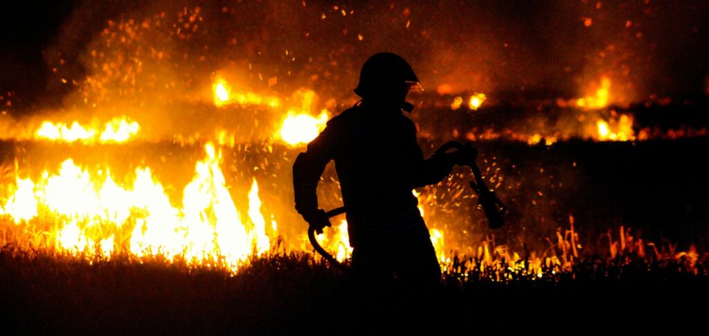
MapBiomas launched a new version of the Fire Monitor, this Thursday (18).
ADVERTISING
The new tool – which uses images from the European Sentinel 2 satellite – shows how much is burning monthly in Brazilian biomes, in addition to mapping burned areas with better resolution.
“This product is the only one of this frequency and resolution to provide this data monthly, which will greatly facilitate the prevention and fight against fires, indicating areas where the fire has become more dense”, explains Ane Alencar, coordinator of the MapBiomas Fire Monitor. “In addition to public authorities, it is a very useful tool for the private sector, such as the insurance sector, for example”, he addssystem. (MapBiomes Brazil)
Check out the Fire Monitor launch video:
Data provided by the new tool – which evaluates the first seven months of the year – shows that, compared to the same period in 2021, the area consumed by fire increased in two of the Brazilian biomes: in the Amazon and in the Pampas.
ADVERTISING
In the Amazon, the fire reached an area of 1.479.739 hectares, while in Pampa, 28.610 hectares were burned between January and July 2022. During this period, an increase of 7% was recorded in the Amazon and 3372% in Pampa.
See also:
(🚥): may require registration and/or signature
(🇬🇧): content in English
(*): content in other languages is translated by Google Tradutor


