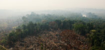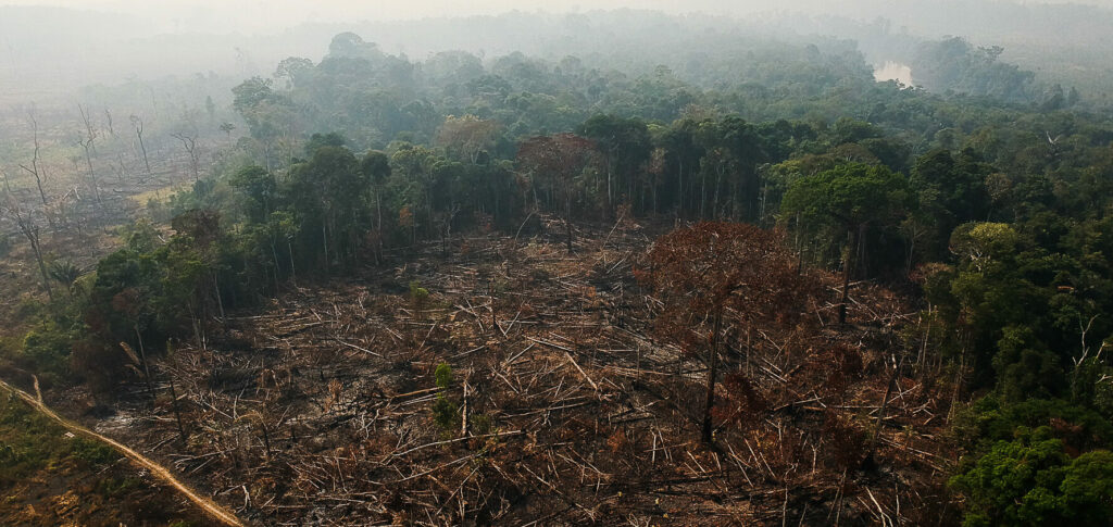
The state of Mato Grosso led in deforestation alerts, with 162 km² (50,3% of the total), followed by Pará and Amazonas, both with 46 km² (14,2% of the total).
ADVERTISING
In January, the system had indicated a 61% drop in the accumulated number of deforestation alerts, compared to the same period in 2022, reaching 167 km².
According to Greenpeace Brazil, the increase in the deforestation rate in February, compared to the previous month, can be interpreted by numerous factors, including the intense cloud cover in the period, which makes more precise observation difficult.
“First, it is necessary to understand the methodology of the monitoring program carried out by Inpe, which is a national and international reference. The systems are based on optical satellites and they cannot see below the clouds. This may have been responsible for such large differences in the first two months, considering that we are in the Amazonian winter, which is characterized by very intense rain and cloud cover. In other words, part of the deforestation that was recorded in February could be from January or even from months prior to February”, explains Rômulo Batista, Amazon spokesperson for Greenpeace Brazil, on the organization's website.
ADVERTISING
Read also